CWS Forecast: Northwest Pennsylvania
Above average temperatures and mostly sunny skies on Wednesday will continue through the end of the work week. Overnight Friday and into Saturday morning, showers tied to an incoming low pressure system will make their way across the Commonwealth. Showers will linger in the eastern half of the state on Saturday night and into the daytime on Sunday, before a second wave of scattered precipitation moves into western Pennsylvania on Sunday night. Temperatures will drop below average on Saturday as a result of the cold front moving through, but will bounce back to average by the start of next week.
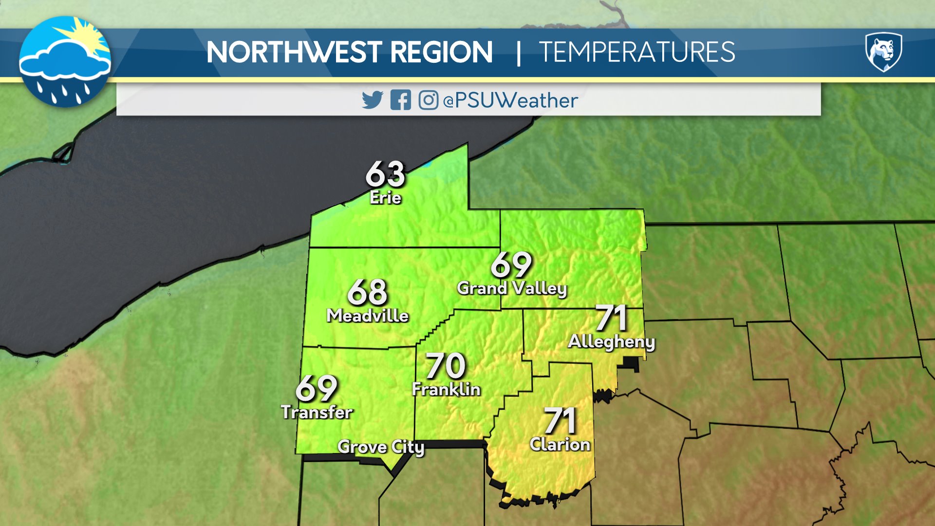
Day One: Thursday, May 2nd 2024

Showers through most of the day. A few peeks of sunshine in the evening. A few showers around again overnight.
High: 67°F
Low: 58°F
Day Two: Friday, May 3rd 2024


Periods of clouds and sunshine. A few showers and thunderstorms in the afternoon. Warm.
High: 75°F
Low: 59°F
Day Three: Saturday, May 4th 2024

Periods of clouds and sunshine. Showers possible overnight. Warm.
High: 79°F
Low: 59°F
Day Four: Sunday, May 5th 2024


Overcast with showers in the morning otherwise partly cloudy.
High: 68°F
Low: 51°F
Day Five: Monday, May 6th 2024


Periods of clouds and sunshine. Warm.
High: 77°F
Low: 58°F

