CWS Forecast: Ridge and Valley Region
General Discussion:
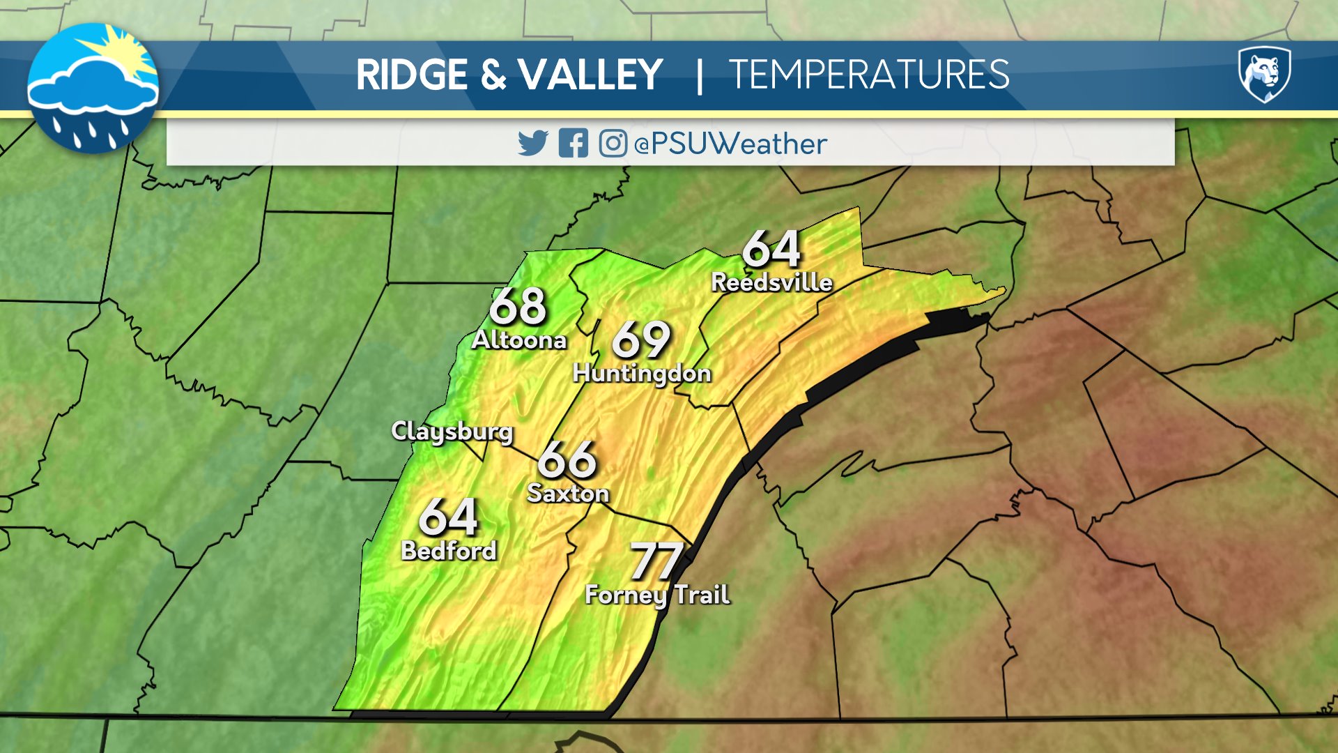
Broadly speaking, the upcoming period will be characterized by above average temperatures in the short term, a slightly cooler weekend with showers and storms, then a return to warmer temperatures next week. Starting with the period from tomorrow through Friday, all three days look pretty great across Pennsylvania. Wednesday will feature widespread sun and 70s with some 80s to the south and east. Thursday will be largely identical but with 80s everywhere except in the higher elevation of the Alleghany Mountains and across the northern tier, where 70s can be expected. Friday once again looks to be a bit warmer than the previous day, with fairly widespread 80s and perhaps some low 90s near Philadelphia.
The more interesting part of the forecast occurs this weekend as a storm system looks to approach from the west. The current expectation is that Saturday will be dry for most with some rain to the northwest, but it also looks to feature a tight temperature gradient with 60s closer to Lake Erie and upper 80s to low 90s southeast. Sunday looks to have fairly widespread areas of rain and showers with temperature returning to near average for most. It is worth pointing out that there will be a chance for some thunderstorms both Saturday and Sunday in certain areas of the state, but I’m not confident on exactly where this will occur as of yet.
Moving into next week, precipitation may linger into Monday for some, but otherwise, temperatures look to return to normal and warm throughout the week. Current indications show that heat and humidity will likely begin to build as we approach next weekend, but confidence on exactly when that will occur remains low.
Technical Discussion:
The current pattern is one which places Pennsylvania in a position to experience a few days of ridging, then some troughing, then ridging again, etc. Currently, a very positively-tilted trough which helped spark some showers and storms over the Appalachians today is departing and will likely become a cut-off low offshore of North Carolina tomorrow. In its place, the decaying ridge associated with the omega block pattern in place the last week or so will move into the area, persisting from tomorrow through Friday.
By Saturday, the pattern turns quite zonal as a lobe of vorticity approaches from the Great Lakes region. The exact evolution of this troughing through Sunday and into Monday is somewhat up in the air, but regardless, it will bring potential for some rain, storms, and cooler temperatures, particularly late Saturday and Sunday. After the weekend, ridging looks to return, and with it a return to average and eventually above average temperatures.
Day One: Wednesday, June 3rd 2026

warm and mostly clear throughout the day and night.
High: 78°F
Low: 54°F
Day Two: Thursday, June 4th 2026


Warm and partly cloudy during the day with clouds remaining overnight.
High: 82°F
Low: 57°F
Day Three: Friday, June 5th 2026

Above average temperatures and partly cloudy during the day with more clouds moving in overnight.
High: 84°F
Low: 62°F
Day Four: Saturday, June 6th 2026


Warm and mostly cloudy during the day becoming overcast by nightfall. Showers possible late in the night.
High: 82°F
Low: 65°F
Day Five: Sunday, June 7th 2026
Overcast with rain showers during the day becoming partly cloudy by nightfall.
High: 79°F
Low: 61°F

